
AntennaPilot works beside the SeaTel antenna control unit: it reads the ACU status every two seconds, computes where the antenna should point, and corrects it when you allow it to.
Independent calculation
Independent azimuth and elevation (AZ/EL) calculation
From the ship’s position and heading and the selected satellite, AntennaPilot calculates the pointing angles and shows the deviation from what the ACU reports, for every axis.
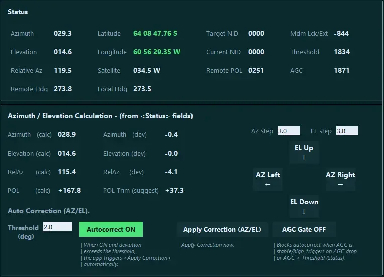
- See an offset immediately, before guests notice.
- Confirm the antenna points at the satellite, not just at a signal.
- Decide with numbers before you trim or correct.
Automatic re-pointing
AutoCorrect: automatic re-pointing after blockage or a wrong lock
When the azimuth or elevation deviation passes your threshold, AntennaPilot turns tracking off, sends the calculated azimuth and elevation, then turns tracking back on, confirming each step with the ACU. After a shadow zone the antenna is already on the right satellite when the view clears.
- Threshold in degrees, set by the operator (5° by default).
- Rate limited, with a pause between corrections, so the ACU is never flooded.
- One button to switch it on or off, remembered between sessions.
Satellite identity
Target NID and current NID side by side
The network ID the ACU is looking for and the one it actually receives are displayed together, with AGC and tracking threshold. A lock on the wrong satellite stands out at once.
Fine tuning
Manual steps, AZ/EL trim and error handling
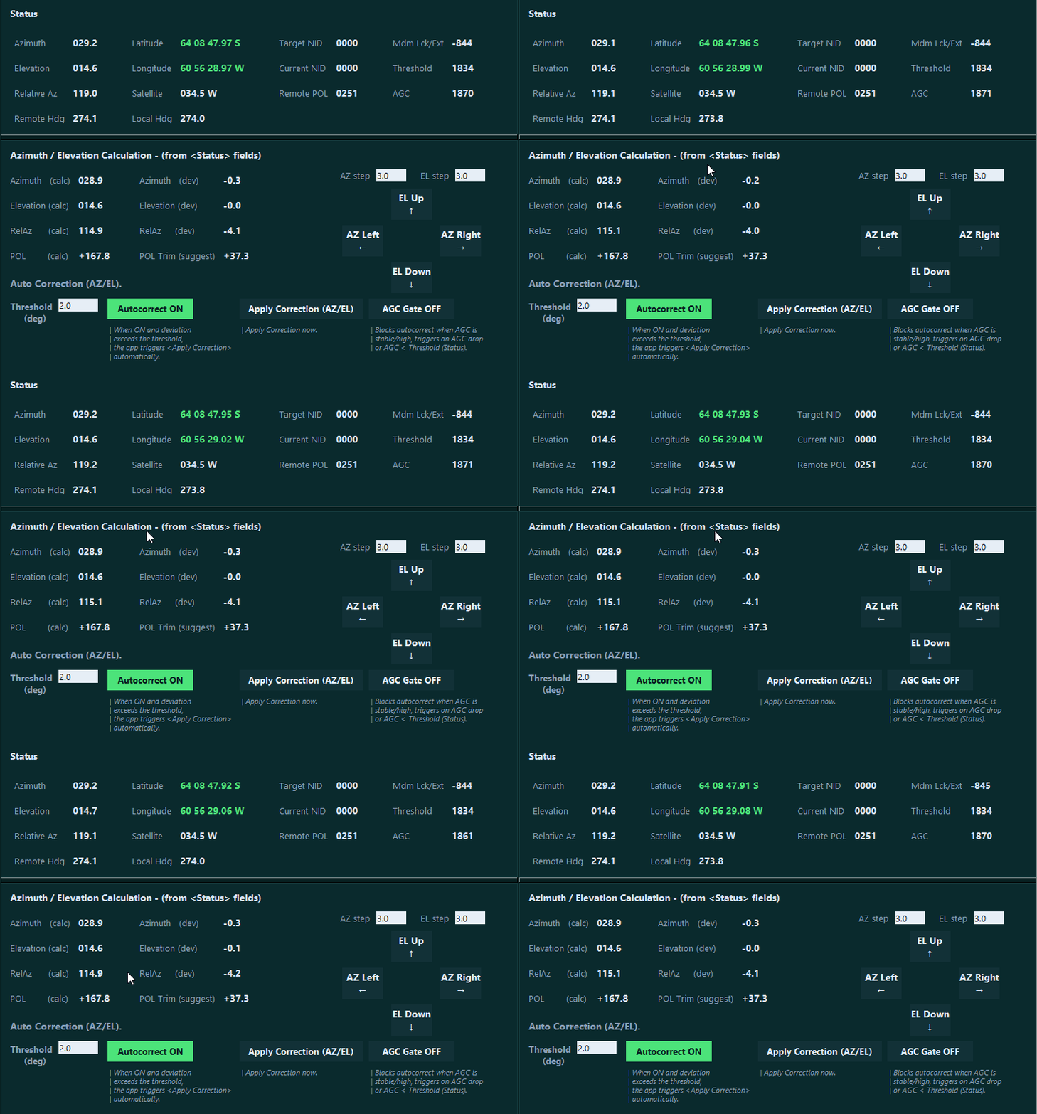
- Azimuth and elevation steps of 0.1°, adjustable.
- Polarization trim suggestion, with offset and invert calibration.
- Go to any azimuth and elevation, tracking on or off, Clear Error.
Map view
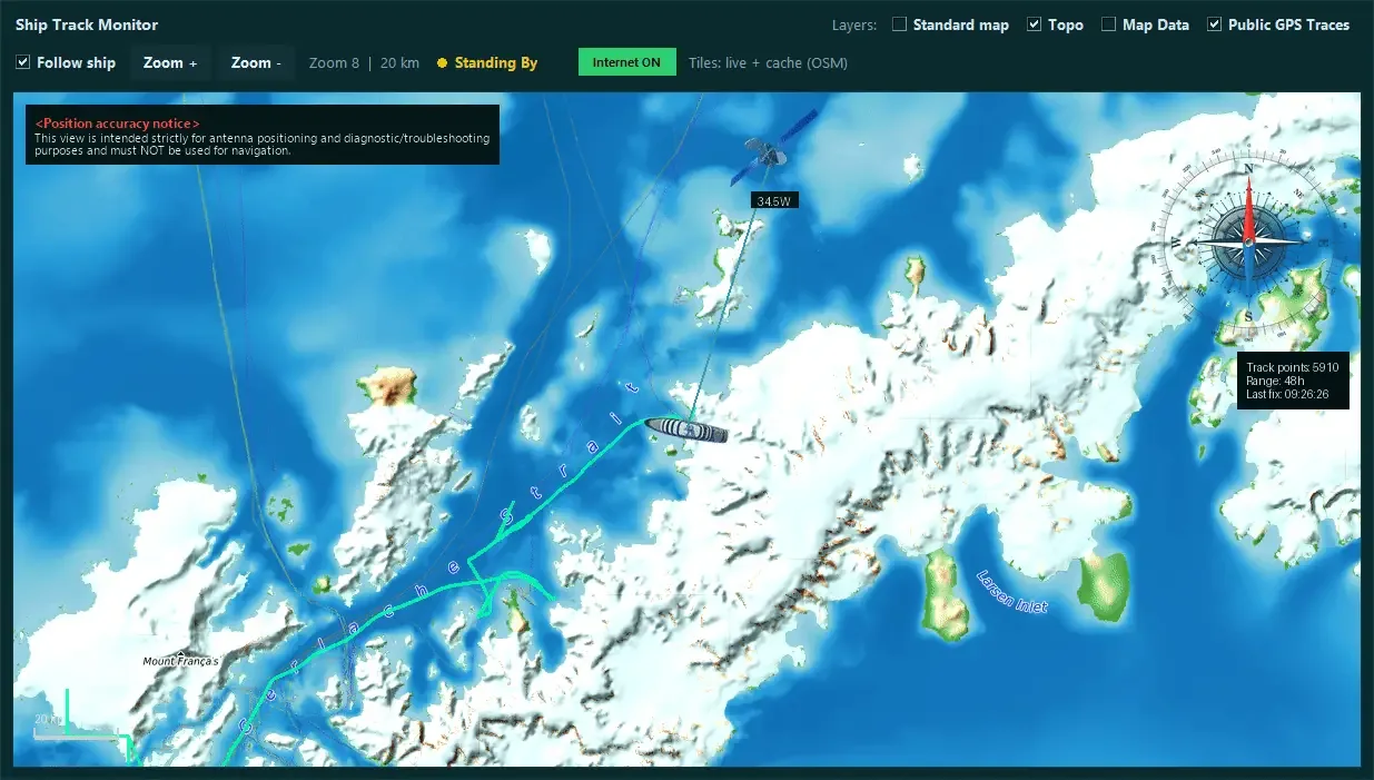
Map view: satellites, ship and track
Logs and diagnostics
AGC trend, event log and PDF report
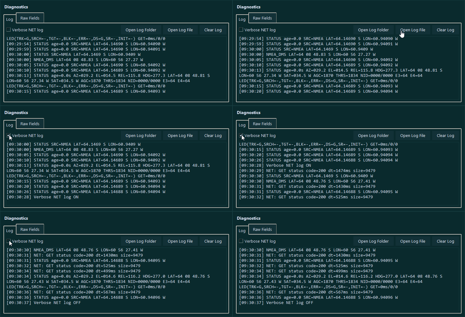
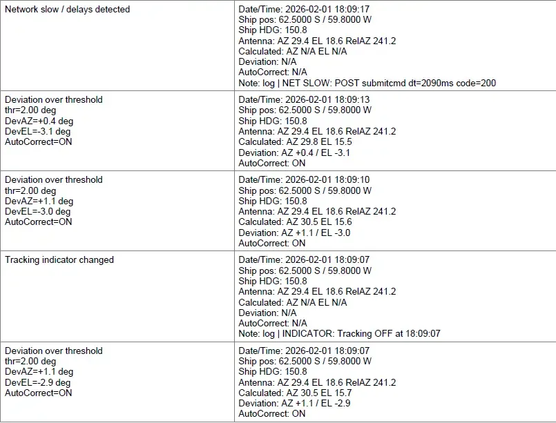
- AGC trend graph over a range you choose, exportable as a PDF report.
- Every correction and status change logged with time, AGC, threshold and NID.
- Automatic log rotation, and an Open Log Folder button.